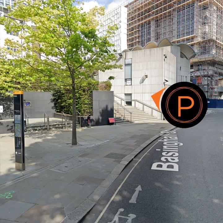
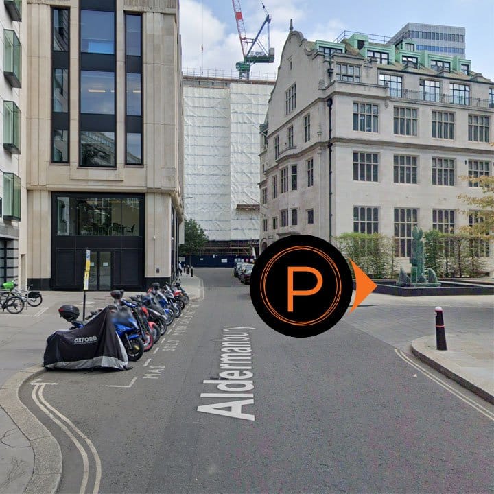
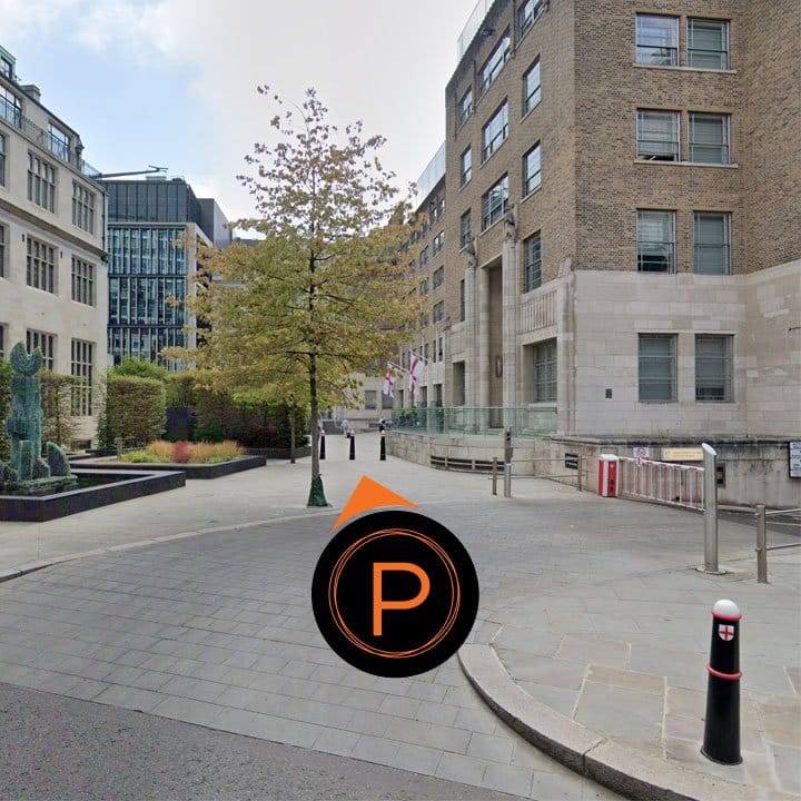
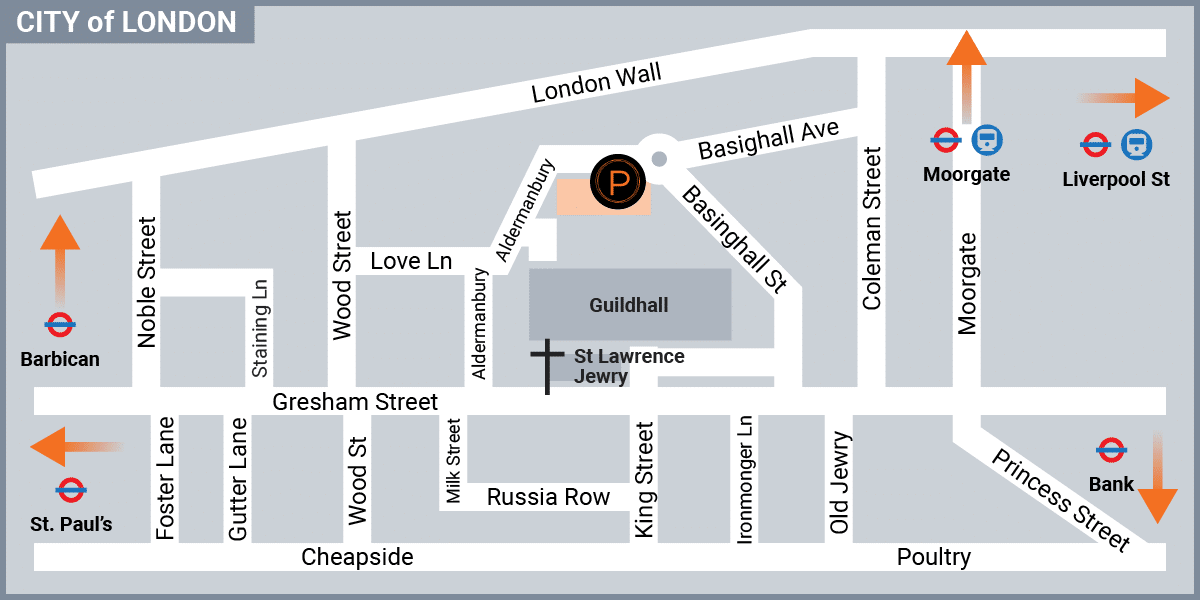
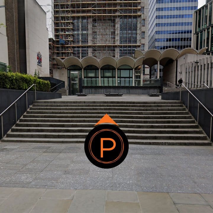
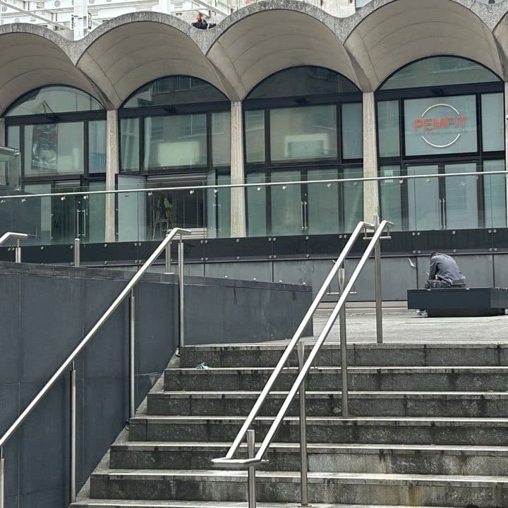
PEMFiT is located behind the Guildhall North Wing Entrance. Access the area behind the Guildhall from either Aldermanbury, or Basinghall Street. From behind the Guildhall North Wing Entrance, go up the steps and see PEMFiT in front of you.
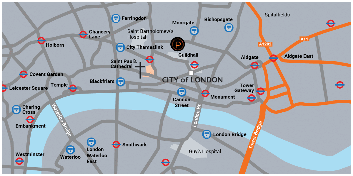
This map shows the location of PEMFiT and the local area, with transport options. Transport for London (TfL) run the day-to-day operation of the capital’s public transport network. See their website for general information.
By Car
Sat Nav Directions: EC2V 5DZ – PEMFiT City of London, 65A Basinghall Street, London.
Alternatively use what three words – ///proof.behave.healthier
Closest car park to PEMFiT:
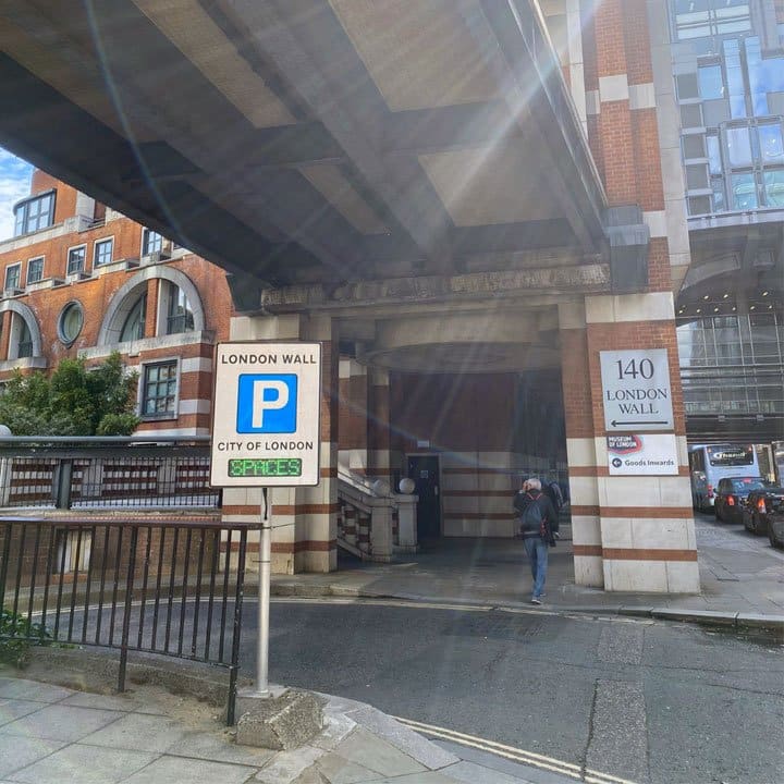
London Wall Car Park is located close to PEMFiT City of London:
Address: 23 London Wall, London EC2V 5DY
Opening times: 24 hours / 365 days a year including Bank Holidays.
By Bus
The Buses page on TfL is where you can find information for bus passenger services. You can Find a bus stop or route, see live bus arrivals, status and timetables.
By Rail
Train:
PEMFiT City of London is accessible from a number of local train stations including Liverpool Street, Cannon Street, Fenchurch Street, Blackfriars, Moorgate and City Thameslink.
National Rail is where you can find information for National Rail passenger services, providing journey planning, real-time information, ticket and fares information, and a range of rail-related information.
Underground:
PEMFiT City of London is accessible from a number of local underground stations including Moorgate, Bank, Mansion House and St. Paul’s.
The Tube page on TfL is where you can find information for underground passenger services, providing details for all London Tube lines, maps, timetables and fares.
Download a printable version of these directions: